our Projects
-
01/
Bear park Project
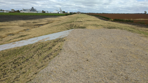
The Bear Park Project was completed in 1984. The designed to hold 4000 acre feet of water during high runoff events, reducing flood damages on the Sand Hill and Red River. -
02/
V. Olson Dam
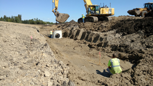
The Verdell Olson Dam began with the construction of a detention dam in the outlet channel from a 50 acre basin. The dam eliminated damages caused by extremely high flows each spring. - 04/
Winger Dam
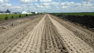
The proposed Winger Dam was designed to hold 12,000 acre feet creating a lake with 6,000 acrea feet of possible flood storage. After years of effort and expense, the project died due to the inability to obtain proper permiting from the US Army Corp and MN DNR. -
08/
Ogaard Impoundment
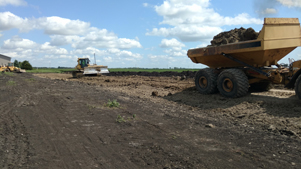
The project was meant to complement the Winger Dam and provide mitigation for the dam. This project died when the Winger Dam was denied permitting. -
09/
River Clean up
To complement the district's missions statement, the district supported all efforts to clean our local river. Tires, mattresses, garbage, carcuses, and appliances were just a few things found and removed from our river. -
09/A
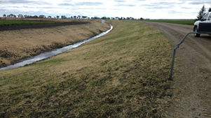
River Stabilization
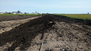
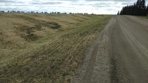
The Sand Hill River Watershed district installed riprap at four erosion protection areas along the Sand Hill River. Three of these areas are located in the vicinity of the city of Fertile in sections 20 and 29 of Garfield Township. The fourth site is located in the NW 1/4 of sect(ion 28, Liberty Township. -
10/
West Mill
The City of Fertile petitioned the Sand Hill River Watershed District with a proposed recreational lake west of Fertile at the site of a feed mill that failed in 1950. The project died due to a lack of funding and MN DNR permitting restraints. -
15/
Ring Dikes
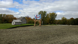
Farmstead Ring Dikes
City Ring Dikes
The Sand Hill River Watershed District has assisted in the construction of many ring dike projects, mostly on the west end of the district. The latest project is a ring dike around the City of Climax. The district is waiting funding for a ring dike around the City of Nielsville -
16/
Kurass Lake
The Watershed District assisted Garfield Township in 1998 with control structure to lower the lake level of Kurass Lake and establish an ordinary high water level. -
18/
Vesledahl Wetland Banking
Multiple agencies planned to develop and restore areas of wetlands that will serve as a "bank" for wetland "credits" to be used to offset damages done to other wetlands for road construction projects. -
19/
Union Lake Erosion Control
The district discovers a a workable solution for solving the erosion that was occurring at the site in section 31 of Knute Township, Polk County, Minnesota. -
21/
Fish Passage
Since the early 2000's the Sand Hill River Watershed District has collaborated with partnering agencies to restore the Sand Hill River and make it a viable fishery once again. -
22/
Section 23/Russia Boundary
Collaboration between the Red Lake Watershed District and the Sand Hill River Waterhsed District solves flooding for local landwoners. -
23/
Section 23/Russia Boundary
Collaboration between the Red Lake Watershed District and the Sand Hill River Waterhsed District solves flooding for local landwoners. -
28/
King Township- Hopke Diversion
The district cost shares with King Township to maintain the district's policy to manage water through a grass waterway vs. crossing farm fields. -
29/
Rock riffles
The Sand Hill River Watershed District collaborated with many partners to minimize future head cutting along the Sand Hill channel and reduce to occurrence of bank sluffing. -
30/
Jerde/Taylor Erosion control
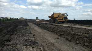
The District helps landowners implement erosion control measures in Section 13 of Liberty Township.